ORLANDO, Fla. – Hurricane Beryl is moving into the Caribbean on a projected path south of the Greater Antilles.
While Beryl, which has shattered three longstanding Atlantic hurricane records, is expected to steer clear of Florida, areas along the Gulf Coast should monitor the storm closely after the Fourth of July. Currently a Category 4 hurricane, Beryl may experience fluctuations in intensity over the next day or so, but the National Hurricane Center warns it will remain an extremely dangerous major hurricane as it tracks through the Windward Islands into the eastern Caribbean.
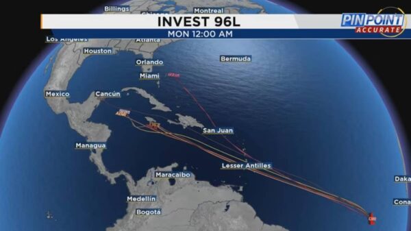
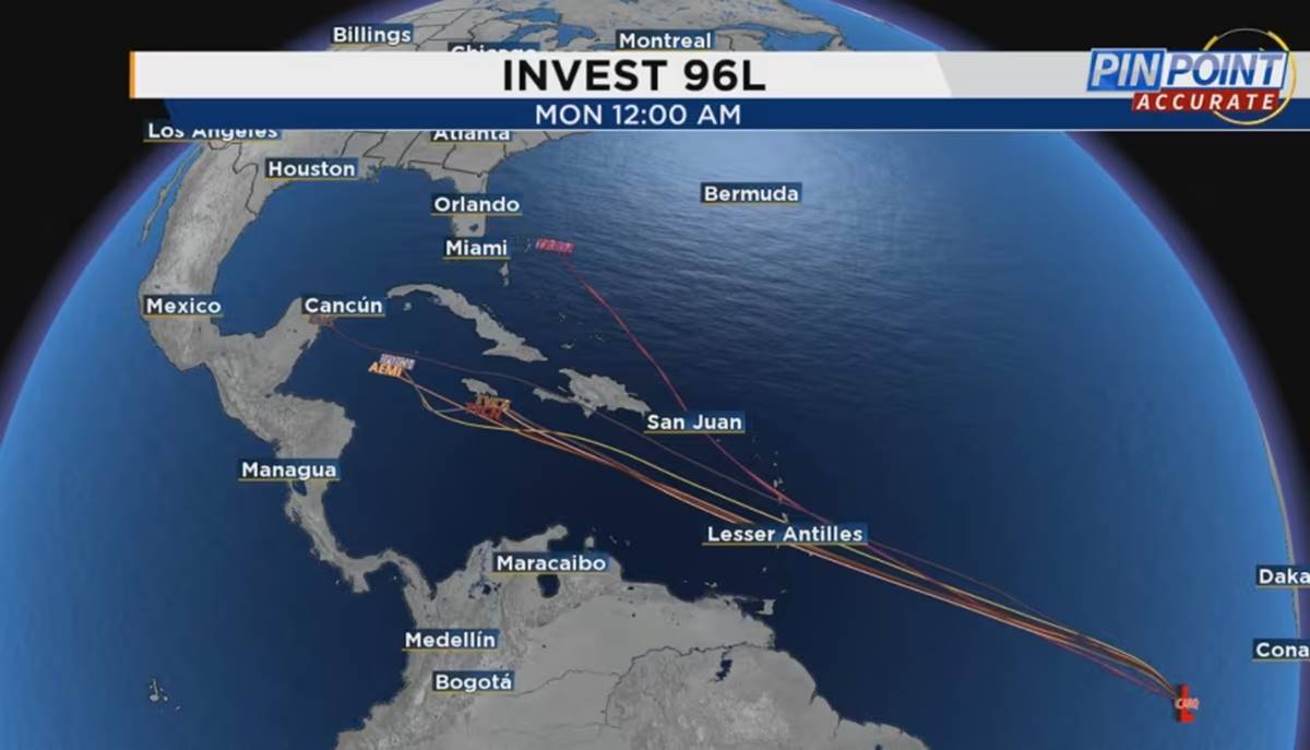
Following closely behind Beryl is another disturbance, designated Invest 96L. Over the coming days, this disturbance may follow a trajectory similar to Beryl’s current path.
There was high confidence in the short-term forecast for Beryl’s track due to the presence of a strengthening dome of high pressure. This feature is expected to shield Florida from direct impacts from the storm.
However, this high-pressure system is anticipated to weaken somewhat after the Fourth of July, introducing uncertainty regarding the path of the trailing disturbance. Current models indicate a consensus that the secondary system will move through the central and western Caribbean.
The system might completely avoid moving north and instead encounter a significant dome of high pressure forming to its west. This scenario would assist in keeping the storm suppressed over the Western Caribbean.


